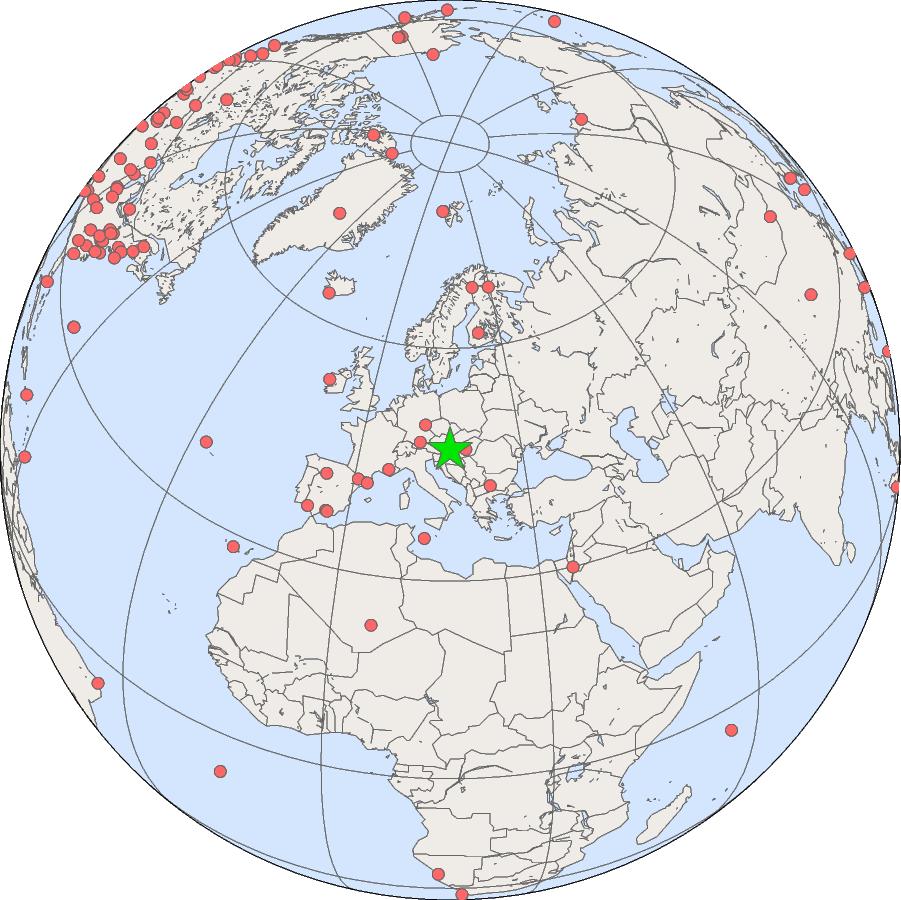
Select single site by:
Station Name
-----
Airborne Aerosol Observatory, Bondville, Illinois, United States
Alaska Coast Guard, United States
Albuquerque, New Mexico, United States
Alert, Nunavut, Canada
Amsterdam Island, France
Anmyeon-do, Republic of Korea
Appalachian State, United States
Arembepe, Bahia, Brazil
Argyle, Maine, United States
Arrival Heights, Antarctica, New Zealand
Ascension Island, United Kingdom
Assekrem, Algeria
Baltic Sea, Poland
Baring Head Station, New Zealand
Barrow Atmospheric Baseline Observatory, United States
Beaver Crossing, Nebraska, United States
Beech Island, South Carolina, United States
Beo-Moussala, Bulgaria
Bird Island, South Georgia, United Kingdom
Bismarck, North Dakota, United States
Black Sea, Constanta, Romania
Bondville, Illinois, United States
Boulder Atmospheric Observatory, Colorado, United States
Boulder, Colorado, United States
Bradgate, Iowa, United States
Brentwood, Maryland, United States
Briggsdale, Colorado, United States
Bukit Kototabang, Indonesia
Cape Grim, Tasmania, Australia
Cape Kumukahi, Hawaii, United States
Cape Meares, Oregon, United States
Cape Point, South Africa
Cape San Juan, Puerto Rico, USA
Carbon in Arctic Reservoirs Vulnerability Experiment (CARVE), United States
Caribou, Maine, United States
Centro de Investigacion de la Baja Atmosfera (CIBA), Spain
Cherskii, Russia
Christmas Island, Republic of Kiribati
Cold Bay, Alaska, United States
Colorado Atmospheric Observatory, USA
Cosmos, Peru
Crozet Island, France
Dahlen, North Dakota, United States
Desert Rock, Nevada, United States
Dongsha Island, Taiwan
Drake Passage, N/A
Dwejra Point, Gozo, Malta
East Trout Lake, Saskatchewan, Canada
Easter Island, Chile
Egbert, Ontario, Canada
El Arenosillo, Spain
Estevan Point, British Columbia, Canada
Eureka, Nunavut, Canada
Fairbanks, Alaska, United States
Fairchild, Wisconsin, United States
Falkland Islands, United Kingdom
Farol De Mae Luiza Lighthouse, Brazil
Fort Peck, Montana, United States
Fortaleza, Brazil
Gobabeb, Namibia
Goodwin Creek, Mississippi, United States
Gosan, Cheju Island, Republic of Korea
Grifton, North Carolina, United States
Halley Station, Antarctica, United Kingdom
Hanford, California, United States
Harvard Forest, Massachusetts, United States
Haute Provence, France
Hegyhatsal, Hungary
High Altitude Global Climate Observation Center, Mexico
Hilo, Hawaii, United States
Hohenpeissenberg, Germany
Homer, Illinois, United States
Houston, Texas, United States
Huancayo, Peru
Humboldt State University, United States
Huntsville, Alabama, United States
Hydrometeorological Observatory of Tiksi, Russia
Hyytiala, Finland
INFLUX (Indianapolis Flux Experiment), United States
Izana, Tenerife, Canary Islands, Spain
K-puszta, Kecskemét, Hungary
Kaashidhoo, Republic of Maldives
Kaitorete Spit, New Zealand
Key Biscayne, Florida, United States
Kitt Peak, Arizona, United States
Kwajalein, Marshall Islands
LA Megacities, United States
La Jolla, California, United States
Lac La Biche, Alberta, Canada
Lampedusa, Italy
Lauder, New Zealand
Lewisburg, Pennsylvania, United States
Lulin, Taiwan
Mace Head, County Galway, Ireland
Madison, Wisconsin, United States
Mahe Island, Seychelles
Marcapomacocha, Peru
Marcellus Pennsylvania, United States
Mariana Islands, Guam
Marshall Field Site, Boulder, Colorado, United States
Marthas Vineyard, Massachusetts, United States
Mashpee, Massachusetts, United States
Mauna Kea, Hawaii, United States
Mauna Loa, Hawaii, United States
Mauna Loa, Hawaii, United States
McMurdo Station, Antarctica, United States
Molokai Island, Hawaii, United States
Montsec, Spain
Montseny, Spain
Moody, Texas, United States
Mould Bay, Northwest Territories, Canada
Mt. Bachelor Observatory, United States
Mt. Kenya, Kenya
Mt. Waliguan, Peoples Republic of China
Mt. Wilson Observatory, United States
NE Baltimore, Maryland, United States
NW Baltimore, United States
Narragansett, Rhode Island, United States
Nashville, Tennessee, United States
Niwot Ridge Forest, Colorado, United States
Niwot Ridge, Colorado, United States
Ny-Alesund, Svalbard, Norway and Sweden
Oak Ridge, Tennesee, United States
Ocean Station Charlie, United States
Ocean Station M, Norway
Ochsenkopf, Germany
Offshore Cape May, New Jersey, United States
Offshore Charleston, South Carolina, United States
Offshore Corpus Christi, Texas, United States
Offshore Portsmouth, New Hampshire (Isles of Shoals), United States
Oglesby, Illinois, United States
Olympic Peninsula, Washington, United States
Pallas-Sammaltunturi, GAW Station, Finland
Palmer Station, Antarctica, United States
Park Falls, Wisconsin, United States
Penn State, Pennsylvania, United States
Perth, Australia
Pico, Azores, Portugal
Plateau Assy, Kazakhstan
Point Arena, California, United States
Point Six Mountain, Montana, United States
Poker Flat, Alaska, United States
Prospect Hill, Bermuda, United Kingdom
Ragged Point, Barbados
Raleigh, North Carolina, United States
Rarotonga, Cook Islands
Resolute, Canada
Sable Island, Nova Scotia, Canada
Salt Lake City, United States
Sand Island, Midway, United States
Santarem, Brazil
Sary Taukum, Kazakhstan
Seattle, Washington, United States
Seoul, Republic of Korea
Shangdianzi, China
Shemya Island, Alaska, United States
Shenandoah National Park, United States
Sierra Nevada, Spain
Sioux Falls, South Dakota, United States
South Carolina Barnwell Tower, United States
South China Sea (12 N), N/A
South China Sea (15 N), N/A
South China Sea (18 N), N/A
South China Sea (21 N), N/A
South China Sea (3 N), N/A
South China Sea (6 N), N/A
South China Sea (9 N), N/A
South Pole, Antarctica, United States
Southern Great Plains, Oklahoma, United States
St. Croix, Virgin Islands, United States
St. Davids Head, Bermuda, United Kingdom
Sterling, Virginia, United States
Storhofdi, Vestmannaeyjar, Iceland
Storm Peak Laboratory (Desert Research Institute), United States
Summit, Greenland
Sutro Tower, San Francisco, California, United States
Suva, Fiji
Syowa Station, Antarctica, Japan
Table Mountain, United States
Table Mountain, United States
Tacolneston, United Kingdom
Tae-ahn Peninsula, Republic of Korea
Taiping Island, Taiwan
Tallahassee, Florida, United States
Tallahassee, Florida, United States
Tambopata, Peru
Terceira Island, Azores, Portugal
Thurmont, Maryland, United States
Trinidad Head, California, United States
Tudor Hill, Bermuda, United Kingdom
Tundra Lab, Niwot Ridge, Colorado, United States
Tutuila, American Samoa
Ulaan Uul, Mongolia
Ulaanbaatar, Mongolia
University of Granada, Spain
Ushuaia, Argentina
Varrio, Finland
Wallops Island, Virginia, United States
Walnut Grove, California, United States
Weaverville, California, United States
Weizmann Institute of Science at the Arava Institute, Ketura, Israel
Wendover, Utah, United States
West Branch, Iowa, United States
Western Pacific Cruise (0 N), N/A
Western Pacific Cruise (10 N), N/A
Western Pacific Cruise (10 S), N/A
Western Pacific Cruise (15 N), N/A
Western Pacific Cruise (15 S), N/A
Western Pacific Cruise (20 N), N/A
Western Pacific Cruise (20 S), N/A
Western Pacific Cruise (25 N), N/A
Western Pacific Cruise (25 S), N/A
Western Pacific Cruise (30 N), N/A
Western Pacific Cruise (30 S), N/A
Western Pacific Cruise (5 N), N/A
Western Pacific Cruise (5 S), N/A
Whistler, Canada
Station Code
-----
AAO
ABP
ABQ
ACG
ALT
AMS
AMT
AMY
APP
ARH
ARN
ASC
ASK
AVI
AZR
BAL
BAO
BEO
BER
BGI
BHD
BIS
BKT
BLD
BME
BMW
BNA
BND
BNE
BOS
BRW
BSC
BWD
CAO
CAR
CBA
CBM
CGO
CHR
CHS
CIB
CMA
CMO
COS
CPR
CPT
CRV
CRZ
DND
DRA
DRP
DSI
EGB
EIC
ESP
ETL
EUK
FBK
FLK
FPK
FTL
FWI
GMI
GOZ
GSN
GWN
HAA
HBA
HFM
HIH
HIL
HNX
HPB
HST
HSU
HUA
HUN
HVA
ICE
INX
ITN
IZO
KCO
KEY
KPA
KPS
KUM
KWJ
KZD
KZM
LAC
LAU
LEF
LEW
LLB
LLN
LMP
MBC
MBO
MCM
MEX
MFS
MHD
MID
MKN
MKO
MLF
MLO
MPO
MRC
MSA
MSH
MSN
MSY
MVY
MWO
NAT
NEB
NHA
NMB
NRI
NWB
NWF
NWR
NZL
OHP
OIL
OPW
ORT
OXK
PAL
PCO
PFA
PSA
PSM
PSU
PTA
PTH
RAL
RPB
RSL
RTA
SAN
SBT
SCA
SCSN03
SCSN06
SCSN09
SCSN12
SCSN15
SCSN18
SCSN21
SCT
SDZ
SEA
SEL
SEY
SGI
SGP
SHM
SIO
SLC
SMO
SMR
SNP
SNS
SPL
SPO
STC
STM
STR
SUM
SUV
SVA
SXF
SYO
TAC
TAL
TAP
TBL
TBP
TGC
THD
TIK
TLH
TMD
TPI
TUN
UGR
ULB
USH
UTA
UUM
VAR
WAI
WBI
WGC
WHI
WIS
WKT
WLG
WPCN00
WPCN05
WPCN10
WPCN15
WPCN20
WPCN25
WPCN30
WPCS05
WPCS10
WPCS15
WPCS20
WPCS25
WPCS30
WSA
WVR
ZEP
or Select multiple sites by:
Country
-----
Algeria
American Samoa
Argentina
Australia
Barbados
Brazil
Bulgaria
Canada
Chile
China
Cook Islands
Fiji
Finland
France
Germany
Greenland
Guam
Hungary
Iceland
Indonesia
Ireland
Israel
Italy
Japan
Kazakhstan
Kenya
Malta
Marshall Islands
Mexico
Mongolia
N/A
Namibia
New Zealand
Norway
Norway and Sweden
Peoples Republic of China
Peru
Poland
Portugal
Puerto Rico, USA
Republic of Kiribati
Republic of Korea
Republic of Maldives
Romania
Russia
Seychelles
South Africa
Spain
Taiwan
USA
United Kingdom
United States
or by:
Program
All Programs
Carbon Cycle Gases
Halocarbons and Trace Gases
Ozone and Water Vapor
Meteorology
Solar Radiation and Aerosols
Reset