The U.S. government is closed. This site will not be updated; however, NOAA websites and social media channels necessary to protect lives and property will be maintained.

To learn more, visit commerce.gov.

For the latest forecasts and critical weather information, visit weather.gov.

Observation Sites

Select single site by:
or Select multiple sites by:
or by:

Reset

Yellow markers indicate discontinued sites

Kaitorete Spit, New Zealand [NZL]

site location map

Location

  • Country: New Zealand Country Flag
  • Latitude: 43.83° South
  • Longitude: 172.6300° East
  • Elevation: 3.00 masl
  • Time Zone: Local Standard Time + -12.0 hour(s) = UTC

Data

Cooperating Agencies

  • logo for cooperating agency U.S. National Center for Atmospheric Research
GML Projects at Kaitorete Spit

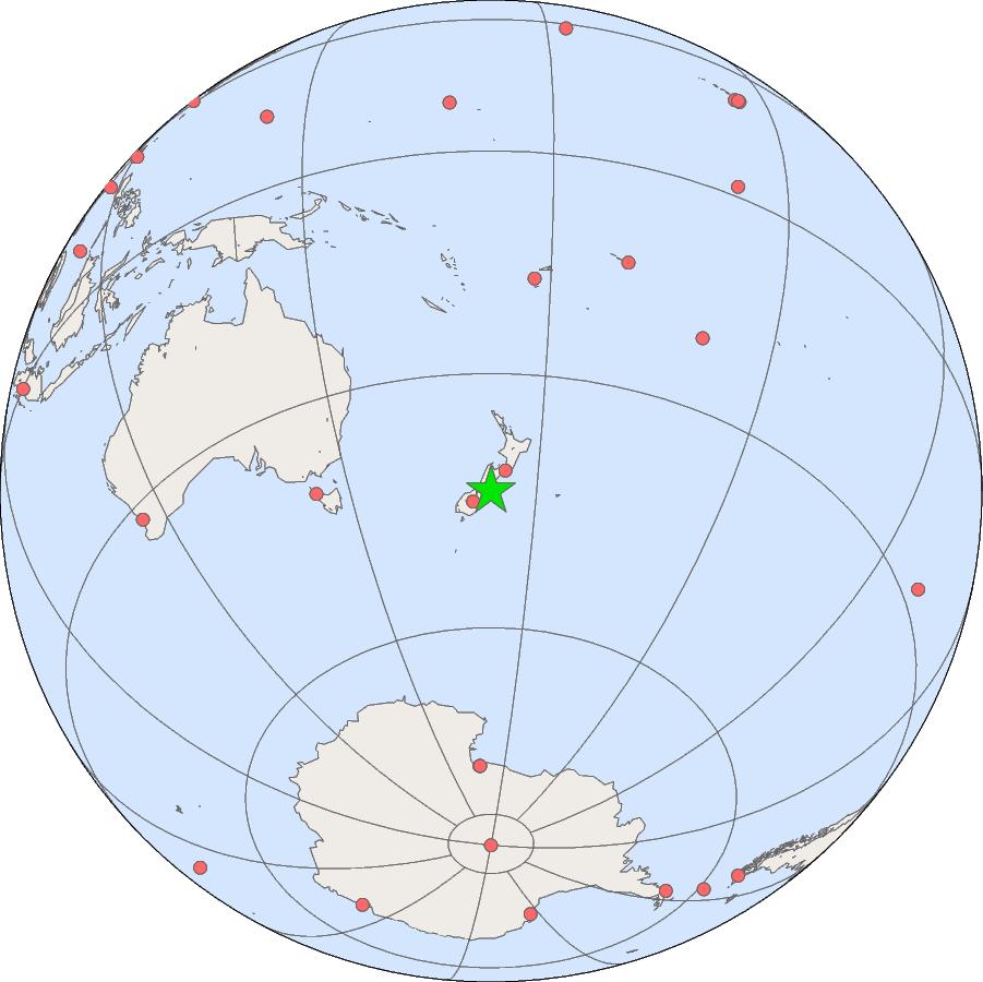
Carbon Cycle Surface Flasks

Parameter Formula First Sample Date Status
Carbon Dioxide CO2 1982-10-25 Terminated - 1985-04-09
Methane CH4 1983-06-07 Terminated - 1985-04-09