The U.S. government is closed. This site will not be updated; however, NOAA websites and social media channels necessary to protect lives and property will be maintained.

To learn more, visit commerce.gov.

For the latest forecasts and critical weather information, visit weather.gov.

Observation Sites

Select single site by:
or Select multiple sites by:
or by:

Reset

Yellow markers indicate discontinued sites

Sterling, Virginia, United States [SVA]

site location map

Location

  • Country: United States Country Flag
  • Latitude: 38.9800° North
  • Longitude: 77.47° West
  • Elevation: 85.00 masl
  • Time Zone: Local Standard Time + 5.0 hour(s) = UTC

Data

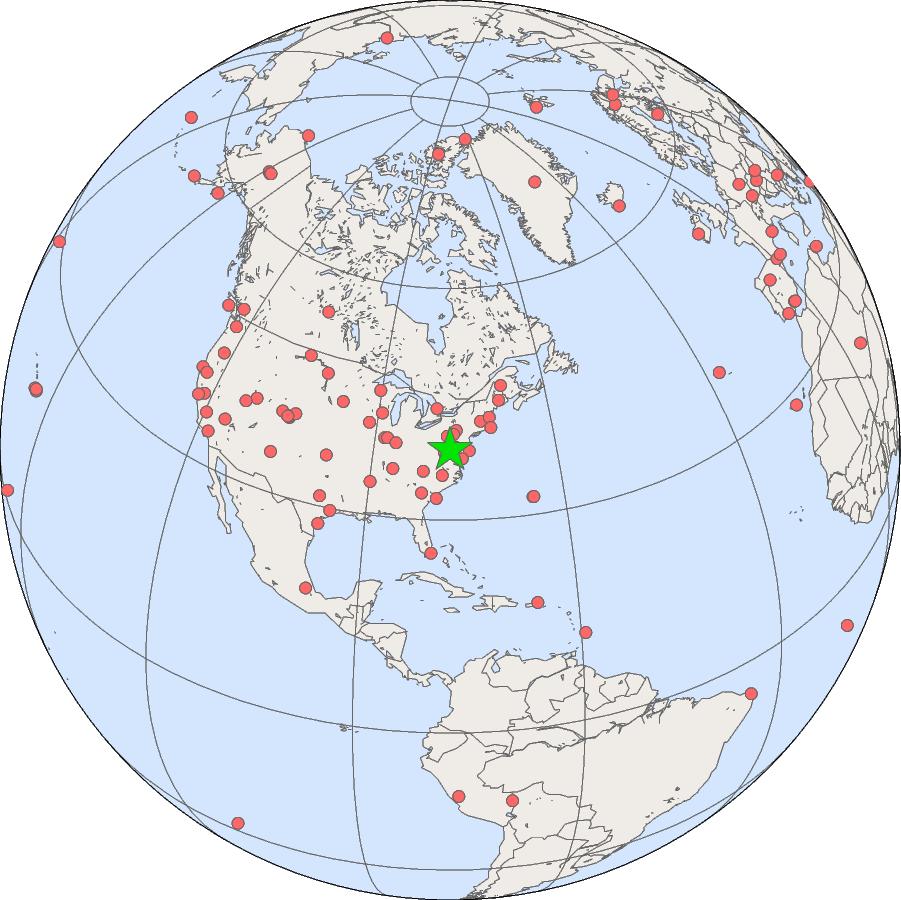
The SOLRAD station in Sterling is located on the National Weather Service grounds at the airport.

GML Projects at Sterling, Virginia

Solar Radiation