NOGAP survey completed its first flights to document greenhouse gas distribution across the U.S.
November 21, 2023
Last week, the National Observations of Greenhouse gasses Aircraft Profiles (NOGAP) survey completed the first of six loops around the United States to document and understand in great detail the vertical distribution of greenhouse gasses (GHGs) in the lower atmosphere. The NOGAP survey supplements an ongoing aircraft-based network, run by NOAA’s Global Monitoring Laboratory (GML), that covers the United States and parts of Canada.
This effort is part of a newly funded NOAA GHG Sustained Atmospheric Observations (GSAO) program focused on enhancing observations and analysis of GHGs from global-to-regional scales. Since its beginning in FY22, this program has filled gaps in NOAA’s global- and U.S.-based observations and expanded NOAA’s ability to detect changes in ecosystems and human activities that contribute to the accumulation of GHGs in the atmosphere.
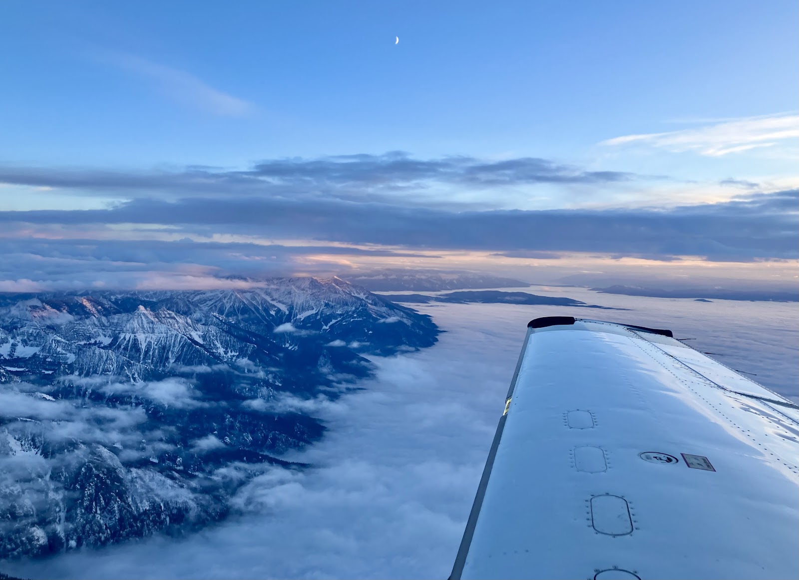
NOGAP was designed to survey background air throughout the contiguous United States, covering more than 11,000 miles over land and profiling more than 960,000 vertical feet with 48 climbs from 500 to 20,000 feet above sea level. These high-resolution GHG and ozone concentration measurements will provide critical data for researchers evaluating emissions and uptake of GHGs across the United States. These data will also evaluate and improve the quality of models and satellites measurements of GHG emissions.
With a measurement frequency of once every 2.5 seconds, the measurements made by the NOGAP survey will provide a detailed map of how natural and human emissions and uptakes from the ocean and land change GHG composition throughout the atmosphere. These observations can be directly compared to satellite observations and model estimates of GHGs, helping researchers better understand processes contributing to the variation in GHGs throughout the atmosphere.
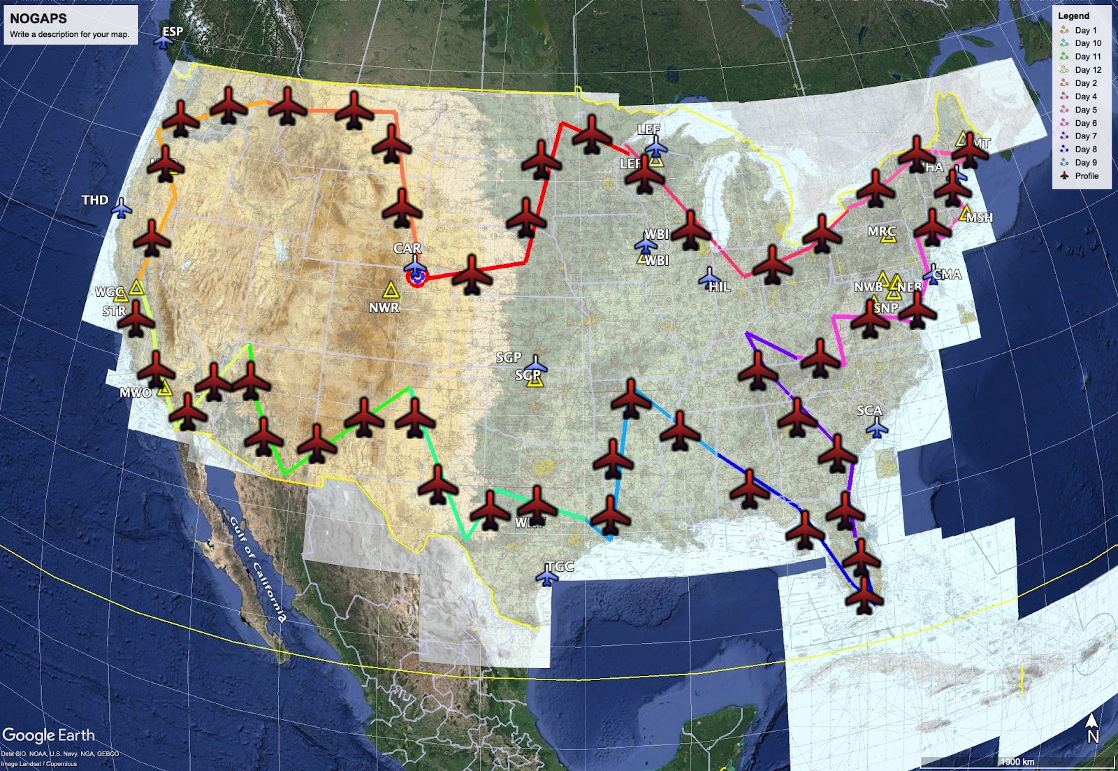
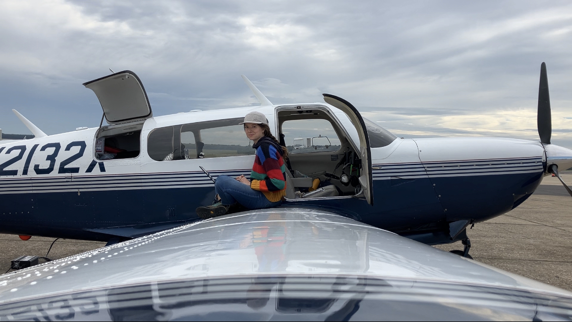
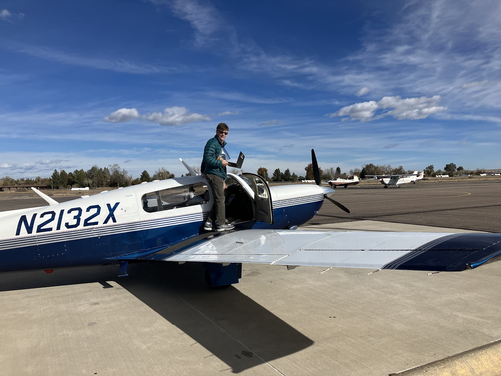
The first NOGAP survey captured atmospheric profiles of GHGs in a series of flights across the United States. The survey started in Boulder, Colorado—home to GML—where the flight track headed northeast, followed the northern U.S. border from Minnesota to Maine, down the East coast to Virginia, veered inland to the Smoky Mountains, and then back to the eastern U.S. coast to just south of Miami, Florida. From Florida’s west coast, the flight track proceeded to the northern border of Arkansas, the central Gulf Coast, the West coast and then back across the northern U.S. border to Boulder.
Five additional NOGAP surveys are planned through FY24, allowing the researchers to capture the seasonal cycle in GHG emissions and uptakes. They will use these results to determine where more measurements are needed, for example in regions like the Southeast where the current aircraft network has only one site despite many natural and human emissions and uptakes of GHGs.
The NOGAP survey was designed to supplement an existing aircraft network that leverages small aircraft and specially designed flask sampling systems to sample and subsequently measure more than 60 GHG and ozone-depleting substances at 12 different sites across the United States, from 500 feet above ground level to altitudes as high as 25,000 feet. By taking measurements of winds, temperature, and important GHGs—including carbon dioxide, carbon monoxide, and ozone—at high sampling rates, the NOGAP survey allows for a much more detailed examination of the spatial gradients of GHGs in the atmosphere, both horizontally and vertically, thus enabling a better understanding of underlying processes driving variability of GHGs in the atmosphere. These measurements will also provide a baseline for urban and regional emissions estimates, where mitigation of GHG emissions is critical.