
GML homogenizes a Cohesive Record for NOAA Ozone Data
The Global Monitoring Laboratory recently finished homogenizing multiple NOAA satellite and in-situ ozone records up until 2020. The cohesive record will be used for trend analysis to understand the current status of ozone depletion in the stratosphere in preparation for the WMO/UNEP Scientific Assessment of Ozone Depletion: 2022 (WMO 2022).
Due to the potential disturbance of instruments during satellite carrier launch and takeoff, satellite records are regularly verified by ground-based measurements that follow a rigorous and frequent calibration protocol. Also, satellite records provide a different spatial and temporal resolution compared to in-situ measurements. This effort to homogenize and verify the stability of all ozone records will help create consistency in reporting trend estimates.
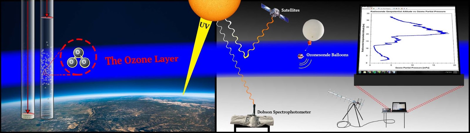
The Global Monitoring Laboratory provided multiple types of in-situ ozone measurements at stations around the globe to help with this calibration. These include ozonesonde data that measure a vertical profile through the atmosphere and Umkehr data that measure ozone in 10-atmosphere layers.
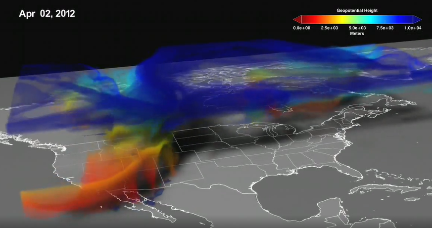
NOAA Environmental Satellite Data and Information Service (NOAA Satellite) provided global ozone profiles from OMPS S-NPP. Paired with SBUV v8.6 data from NASA, the team creates a homogenized zonal average product, daily and monthly averages in 5-degree bands. Additionally, the team creates monthly ozone products averaged over broadbands of latitudes, i.e., 30-60 degrees North (Northern middle latitudes), 30-60 degrees South (Southern middle latitudes), 20 degrees South to 20 degrees North (Tropics), and near-global 60 degrees South to 60 degrees North.
The homogenized dataset was submitted this year to the international research collaboration on Long-term Ozone Trends and Uncertainties in the Stratosphere (LOTUS) supported by the Stratosphere-troposphere Processes And their Role in Climate (SPARC) core project of the WCRP, WMO Global Atmospheric Watch program, and International Ozone Commission (IO3C). The LOTUS group uses NOAA and other homogenized records to optimize the trend model that estimates local and regional ozone recovery rates. The observational records also help to verify the chemistry-climate models that simulate global ozone changes during the period of ozone observations.
These models make predictions for ozone recovery in the future based on our understanding of the processes that impact stratospheric ozone changes. The models can also help decouple the effect of banning ozone-depleting substances (ODSs) from the effect of other climate-ozone feedbacks and evaluate whether the current policy effort to ban ozone-depleting substances is successful and sufficient.
Scientists involved in this effort will meet next week to compare the model results with observations and provide insights on model improvements. The trend assessments will be included in WMO 2022, expected to be released by the end of 2022.
The research is funded by the Atmospheric Chemistry, Carbon Cycle, & Climate (AC4) program in the Climate Program Office. Dr. Irina Petropavlovskikh from Global Monitoring Laboratory and Dr. Jeannette Wild from the University of Maryland and National Weather Service’s Climate Prediction Center are the co-Principal Investigators and Larry Flynn from NOAA Satellite’s Center for Satellite Applications and Research is a collaborator.
Global Monitoring Laboratory scientists Bryan Johnson and Patrick Cullis managed the ozonesonde program, Koji Miyagawa worked with Dr. Petropavlovskikh on data homogenization, Audra McClure and Peter Effertz helped with trend analysis, and Glen McConville calibrated the Dobson instrument for ozone measurements.