
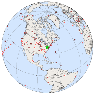
SOLRAD Network: Sterling, VA
The SOLRAD station in Sterling is located on the National Weather Service grounds at the airport.
| Sterling, Virginia | |
|---|---|
| Latitude: | 38.98 degrees North |
| Longitude: | 77.47 degrees West |
| Elevation: | 85 meters |
| SOLRAD data from the Sterling site. | |
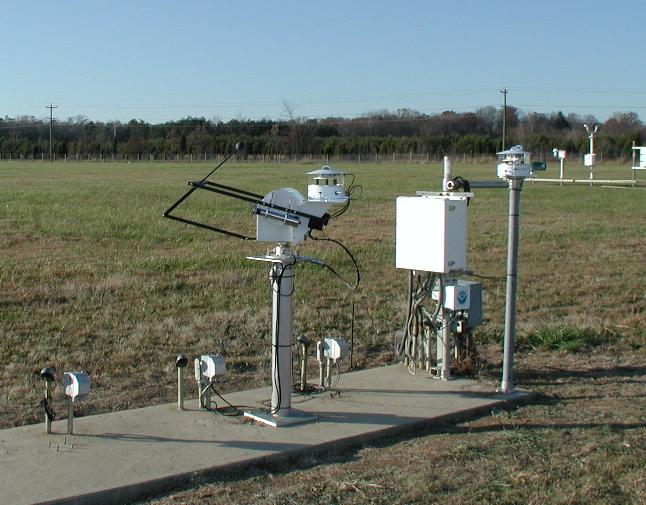
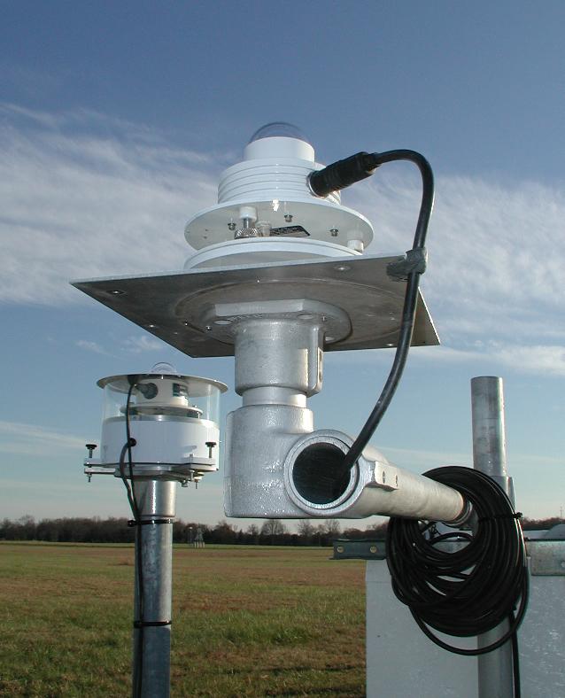
The SOLRAD station in Sterling, Virginia, located near the airport. (646x505 JPEG, 62Kb)
Instruments at the Sterling site include
a total solar pyranometer (front), and a UV-B Biometer (rear left).
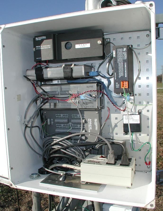
The CR10 data logger enclosure, including (left side, top to bottom)
rechargeable battery, storage module, data logger, multiplexer,
and power surge protector. The modem is at top right, and a phone
line surge protector is below that.
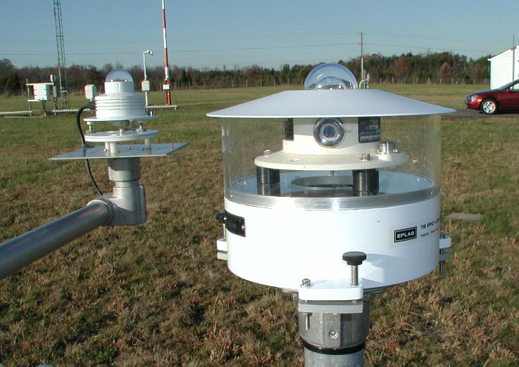
The UVB Biometer is shown at front, with the global pyranometer
mounted in the background.